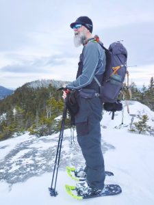
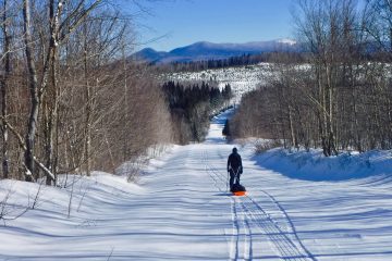
On January 4th, Frosty and I headed out to hike Little Bigelow. We parked where the East Flagstaff Road and the Bog Road split. It was a short walk down the road to the trailhead.
Frosty at the Trailhead
The skies were overcast, and the weather was very mild for winter, 30°. While hiking, I was sweating. I was down to single layers with nothing to take off . Regulating body heat and preventing sweating are factors to consider in winter hiking. So, I was hot while moving. Then, when a breeze came, I’d get chilled because of the sweat.
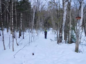
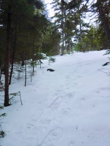
We started out bare booting it. The trail was well packed. After awhile, though we started post holing, so we strapped on our snowshoes and continued. The beginning of the trail was really gentle. Later, there were a few steep parts, but this was a very do-able trail.
We saw lots of tracks near the trail: partridge, squirrel, and rabbit. We also passed a few places where squirrels had had a pine cone party, like they broke apart cones and threw the pieces as confetti.
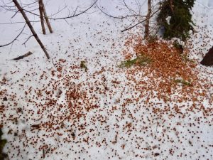
Pinecone Party
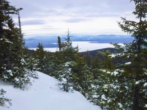
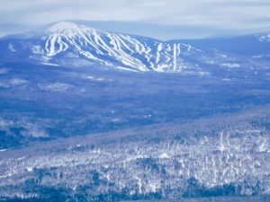
As we ascended, there were a few clearings where we stopped to enjoy the view. And just after our three mile mark, we hit the major viewpoint. From here, there is a sweeping vista of Sugarloaf, the Crockers, the Bigelows.
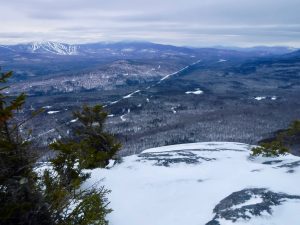
View of Sugarloaf and the Surrounding Area
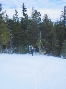
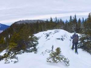
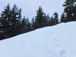
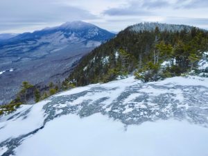
We decided to keep going up the ridge a bit. The major viewpoint marked the end of the packed trail. We broke trail as we continued along the ridge. We stopped at a smaller viewpoint and turned around.
The View of Sugarloaf Where We Turned Around
We met up with five other people as we descended, including Amie, who we hiked Saddleback with a few weeks prior.
The skies remained overcast the whole day, but the precipitation held off long enough for us to finish hiking. About twenty minutes after we finished our hike as we were driving home, it started sprinkling.

My Garmin watch listed our hike at 7.3 miles with 1,895 feet of elevation gain.
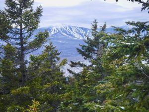
Sugarloaf
The Bigelows
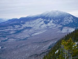
The Bigelows

2 Comments
Jordan · February 12, 2020 at 7:27 pm
I’m planning a trip to Bigelow Preserve this weekend to spend the night and snowshoe and/or ski. I’m curious, do you know what the road conditions were like past East Flagstaff Road and Bog Brook Road? Is it passable with 4 wheel drive?
Magoo · February 20, 2020 at 4:08 pm
Sorry that I missed your comment before your trip. For anyone else that is interested. You can drive in to where we parked with two wheel drive. We parked where the East Flagstaff Road and Bog Road Spilt. At the split point, the East Flagstaff Road is a snowmobile trail in the winter. For the most up to date info on road conditions, I would ask a question on the Maine Hiking Facebook page.